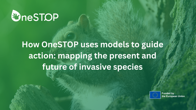
How OneSTOP uses models to guide action: mapping the present and future of invasive species
Authored by João Gonçalves and Joana Vicente from BIOPOLIS-CIBIO.
Across Europe, invasive alien species are pressuring biodiversity, agriculture, infrastructure, and human health. Preventing new invasions and limiting the spread of those already established is the primary mission of the OneSTOP project (OneBiosecurity Systems and Technology for People, Places, and Pathways). Within the project, Work Package 5 (WP5) addresses a core question at the science–policy interface: how can we identify and prioritise the species that pose the highest present and future risks, and predict the areas most vulnerable to invasion as climate and land-use change accelerate? To do this, the OneSTOP project team is developing ecological models that help transform raw biodiversity data into actionable tools for biosecurity planning.
Species distribution models: what are they and what do they tell us
A core analytical tool in WP5 is species distribution models (SDM). SDMs combine species occurrence records from global databases, such as GBIF, with spatially referenced environmental data, including climate and land-cover variables. Based on such data, statistical and machine-learning models learn how environmental conditions shape species niches, allowing SDMs to estimate and map where potential suitable habitat exists today and where these may emerge in the future. These maps are particularly valuable for risk assessment, species prioritisation, and planning early-warning systems, especially as climate change and shifting land use create new opportunities for invasive species to establish.
In OneSTOP, potential distribution maps based on models are being developed for 120 terrestrial invasive alien species, 70 species listed or proposed under the EU “species of Union concern” regulation, and 50 additional species selected by OneSTOP regional Living Labs in Belgium, Finland, Portugal, Romania, and the UK. All models were produced at 1 km resolution (the minimum area in the maps) across Europe for recent historical conditions and two future periods (2041–2070 and 2071–2100), under three widely recognised climate–society IPCC scenarios. The modelling approach builds on an open-source framework (named “wiSDM”) and uses future climate and land-cover projections that are consistent with each scenario.
Delivering freely accessible risk maps
To ensure that a wide range of user communities can readily access and interpret the modelled distribution maps, researchers developed the OneSTOP SDM Map Gallery. This online platform allows users to explore habitat suitability maps for all species across different periods and scenarios.
Although still in an initial version, these mapping products are designed to support EU and national authorities, who benefit from evidence for formal risk assessments and reporting; regional managers, who need to target monitoring or response actions; as well as researchers and students, who require transparent, reusable modelling outputs.
So far, results show that model performance is good, with most species achieving strong discrimination between suitable and unsuitable conditions. However, the value of the maps goes beyond statistics as they offer a pan-European, scenario-tested basis for prioritisation and planning, helping policymakers anticipate future biosecurity challenges rather than react to them.
Using models wisely means understanding limitations and uncertainty
Despite their usefulness, species distribution models come with important caveats that need to be known. For instance, maps show the potential, not actual, distribution of species. This means that an area identified as suitable by the model is one in which environmental conditions could support a species if it arrives, not confirmation of its actual presence.
In addition, SDMs cannot capture every ecological factor. Species dispersal limits, human transport networks, species interactions, and management actions often fall outside the scope of SDM modelling frameworks. Models inevitably contain uncertainties stemming from data gaps, uneven sampling, modelling choices, and differences among climate models and future projections. The OneSTOP modelling framework was designed to minimise and evaluate these issues as much as possible; however, as with any model, they cannot be entirely eliminated.
For decision-makers, this means species distribution models should be viewed as strategic guidance tools. They highlight current and future hotspots, identify areas where surveillance may be needed, and help prioritise species. Nevertheless, they must be combined with field knowledge, pathway analysis, and expert judgement.
Fueling open data and transparency to improve model uptake
A core principle of OneSTOP is scientific openness. All environmental datasets, modelling workflows, and scripts are openly shared through Zenodo and GitHub, following the FAIR (Findable, Accessible, Interoperable, Reusable) principles.
Such transparency offers substantial benefits. It builds trust by allowing policymakers and practitioners to understand how the maps were produced and the assumptions underlying them. It also enables reuse, allowing researchers and other projects to refine, adapt, or build upon the models. Importantly, when tools are open, accessible, and well-documented, they are far more likely to be integrated into real decision-making, supporting meaningful uptake on the ground.
Ultimately, the aim is not only to produce high-quality ecological modelling, but to ensure that OneSTOP’s outputs are genuinely useful for protecting Europe’s biodiversity, landscapes, and communities from invasive alien species.